Belford Community Club
Introduction
The photograph on this page of Belford Community Club by Graham Robson as part of the Geograph project.
The Geograph project started in 2005 with the aim of publishing, organising and preserving representative images for every square kilometre of Great Britain, Ireland and the Isle of Man.

There are currently over 7.5m images from over 14,400 individuals and you can help contribute to the project by visiting https://www.geograph.org.uk
Belford Community Club
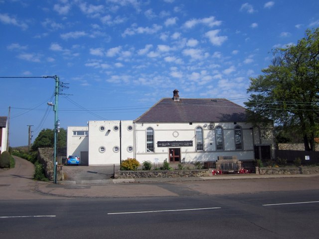
Image: © Graham Robson Taken: 23 May 2012
Belford Community club seen from the other side of West Street. The village war memorial is situated in the wall in front of the car park. A close up of the war memorial can be seen in Image
Images are licensed for reuse under creativecommons.org/licenses/by-sa/2.0
Image Location
Latitude
55.59789
Longitude
-1.833031