Station Road junction in Sandleheath
Introduction
The photograph on this page of Station Road junction in Sandleheath by Stuart Logan as part of the Geograph project.
The Geograph project started in 2005 with the aim of publishing, organising and preserving representative images for every square kilometre of Great Britain, Ireland and the Isle of Man.

There are currently over 7.5m images from over 14,400 individuals and you can help contribute to the project by visiting https://www.geograph.org.uk
Station Road junction in Sandleheath
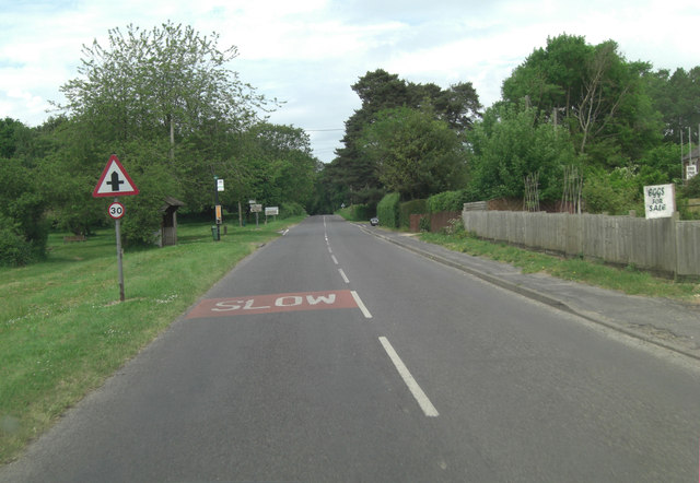
Image: © Stuart Logan Taken: 30 May 2012
To the right a minor road leads to Rockbourne and to the left Alderholt.
Images are licensed for reuse under creativecommons.org/licenses/by-sa/2.0
Image Location
Latitude
50.934139
Longitude
-1.826762