Chilbolton - Former Shower Block
Introduction
The photograph on this page of Chilbolton - Former Shower Block by Chris Talbot as part of the Geograph project.
The Geograph project started in 2005 with the aim of publishing, organising and preserving representative images for every square kilometre of Great Britain, Ireland and the Isle of Man.

There are currently over 7.5m images from over 14,400 individuals and you can help contribute to the project by visiting https://www.geograph.org.uk
Chilbolton - Former Shower Block
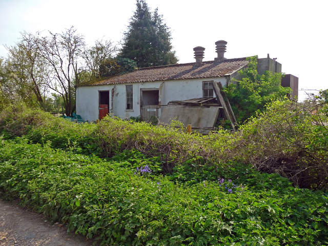
Image: © Chris Talbot Taken: 19 Apr 2011
Now converted into a stable this used to be a shower block for the former RAF Chilbolton Airfield.
Images are licensed for reuse under creativecommons.org/licenses/by-sa/2.0
Image Location
Latitude
51.147174
Longitude
-1.432252