Byway to Sandyford
Introduction
The photograph on this page of Byway to Sandyford by Oliver Dixon as part of the Geograph project.
The Geograph project started in 2005 with the aim of publishing, organising and preserving representative images for every square kilometre of Great Britain, Ireland and the Isle of Man.

There are currently over 7.5m images from over 14,400 individuals and you can help contribute to the project by visiting https://www.geograph.org.uk
Byway to Sandyford
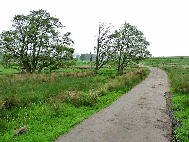
Image: © Oliver Dixon Taken: 29 May 2012
Unusually, this byway open to all traffic from the A696 through to Sandyford has a tarmac surface throughout. The bridge crosses the How Burn in the middle of some marshy land.
Images are licensed for reuse under creativecommons.org/licenses/by-sa/2.0
Image Location
Latitude
55.123965
Longitude
-1.893499