Footpath from A40 to Lime Tree Golf Course
Introduction
The photograph on this page of Footpath from A40 to Lime Tree Golf Course by David Hawgood as part of the Geograph project.
The Geograph project started in 2005 with the aim of publishing, organising and preserving representative images for every square kilometre of Great Britain, Ireland and the Isle of Man.

There are currently over 7.5m images from over 14,400 individuals and you can help contribute to the project by visiting https://www.geograph.org.uk
Footpath from A40 to Lime Tree Golf Course
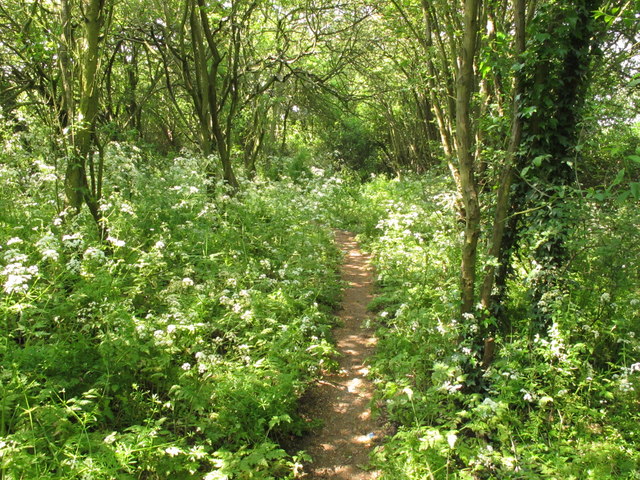
Image: © David Hawgood Taken: 28 May 2012
Just yards from the busy A40 this path through small trees leads to the golf course, and on round the edge of the course to the A4180 Ruislip Road.
Images are licensed for reuse under creativecommons.org/licenses/by-sa/2.0
Image Location
Latitude
51.544683
Longitude
-0.3857