Byway at West Side Farm
Introduction
The photograph on this page of Byway at West Side Farm by Oliver Dixon as part of the Geograph project.
The Geograph project started in 2005 with the aim of publishing, organising and preserving representative images for every square kilometre of Great Britain, Ireland and the Isle of Man.

There are currently over 7.5m images from over 14,400 individuals and you can help contribute to the project by visiting https://www.geograph.org.uk
Byway at West Side Farm
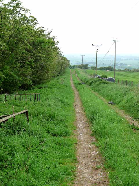
Image: © Oliver Dixon Taken: 29 May 2012
This public byway is followed by an off-road alternative for the Reivers Cycle Route (National Cycle Network Regional Route 10).
Images are licensed for reuse under creativecommons.org/licenses/by-sa/2.0
Image Location
Latitude
55.068837
Longitude
-1.996055