View across farmland towards Shaw Walls Farm
Introduction
The photograph on this page of View across farmland towards Shaw Walls Farm by Christine Johnstone as part of the Geograph project.
The Geograph project started in 2005 with the aim of publishing, organising and preserving representative images for every square kilometre of Great Britain, Ireland and the Isle of Man.

There are currently over 7.5m images from over 14,400 individuals and you can help contribute to the project by visiting https://www.geograph.org.uk
View across farmland towards Shaw Walls Farm
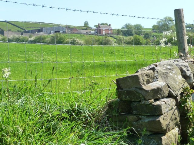
Image: © Christine Johnstone Taken: 27 May 2012
The land banks up steeply above Shaw-wall Lane, hence the view through the fence.
Images are licensed for reuse under creativecommons.org/licenses/by-sa/2.0
Image Location
Latitude
53.037177
Longitude
-1.931209