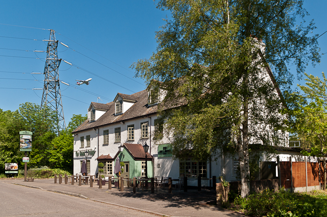
The Shipley Bridge
Introduction
The photograph on this page of The Shipley Bridge by Ian Capper as part of the Geograph project.
The Geograph project started in 2005 with the aim of publishing, organising and preserving representative images for every square kilometre of Great Britain, Ireland and the Isle of Man.
There are currently over 7.5m images from over 14,400 individuals and you can help contribute to the project by visiting https://www.geograph.org.uk

Image: © Ian Capper Taken: 26 May 2012
Standing on what was once the Horley to East Grinstead road, now bypassed by the bridge carrying Antlands Lane over the M23 motorway which runs a couple of hundred yards to the west of here. Old maps show an Inn here in the late 19th century; at that time there would have been no motorway or electricity pylons nearby, nor the overflying of jets taking off from Gatwick Airport - a Virgin Atlantic Boeing 747 can be seen to the right of the pylon.

