Rural Gardens, Glengormley
Introduction
The photograph on this page of Rural Gardens, Glengormley by Albert Bridge as part of the Geograph project.
The Geograph project started in 2005 with the aim of publishing, organising and preserving representative images for every square kilometre of Great Britain, Ireland and the Isle of Man.

There are currently over 7.5m images from over 14,400 individuals and you can help contribute to the project by visiting https://www.geograph.org.uk
Rural Gardens, Glengormley
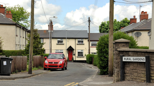
Image: © Albert Bridge Taken: 29 May 2012
A street, on the north western side of the Hightown Road, close to the M2 Image The 1966 one-inch map shows it at the limit of developed Greater Belfast. Shortly afterwards the Ministry of Commerce and the Antrim and Ballymena Development Commission began acquiring much of the land between the Hightown Road and Mallusk for industrial and commercial development. One of the attractions of the area was its proximity to the Sandyknowes roundabout Image The Hightown Road ceased to be rural.
Images are licensed for reuse under creativecommons.org/licenses/by-sa/2.0
Image Location
Latitude
54.670031
Longitude
-5.963115