The M2 hill section, Glengormley
Introduction
The photograph on this page of The M2 hill section, Glengormley by Albert Bridge as part of the Geograph project.
The Geograph project started in 2005 with the aim of publishing, organising and preserving representative images for every square kilometre of Great Britain, Ireland and the Isle of Man.

There are currently over 7.5m images from over 14,400 individuals and you can help contribute to the project by visiting https://www.geograph.org.uk
The M2 hill section, Glengormley
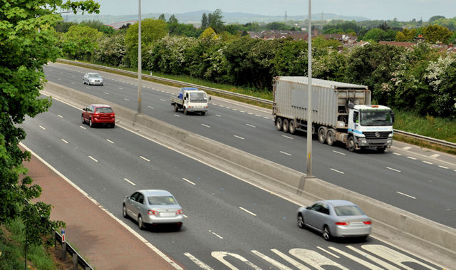
Image: © Albert Bridge Taken: 29 May 2012
Image showed the M2 during the construction of a third (inward/southbound) lane in October 2007. Unfortunately the low bridge Image, on the Hightown Road has been replaced by something a bit higher, at chin level, making an exact “before and after” impossible. This view is from the Hightown Road but looking diagonally across the motorway. The lorry is on the “new” third lane. The old corrugated crash barrier has been replaced by the modern concrete variety.
Images are licensed for reuse under creativecommons.org/licenses/by-sa/2.0
Image Location
Latitude
54.669334
Longitude
-5.96439