View west(ish) from the track to Pen-y-Foel
Introduction
The photograph on this page of View west(ish) from the track to Pen-y-Foel by Martin Evans as part of the Geograph project.
The Geograph project started in 2005 with the aim of publishing, organising and preserving representative images for every square kilometre of Great Britain, Ireland and the Isle of Man.

There are currently over 7.5m images from over 14,400 individuals and you can help contribute to the project by visiting https://www.geograph.org.uk
View west(ish) from the track to Pen-y-Foel
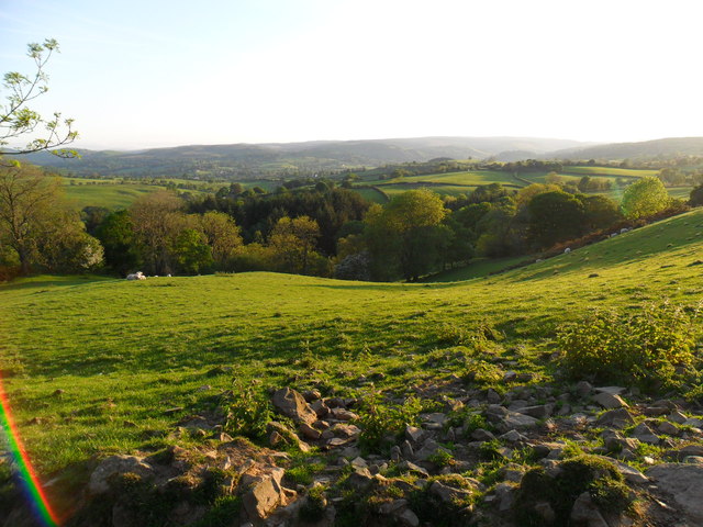
Image: © Martin Evans Taken: 28 May 2012
In the direction of Llanerfyl and also the wonderfully named "Yrhentyhwntirparc" which means, literally, the old house beyond the park. Not quite visible in this photo but I just wanted to get that in.
Images are licensed for reuse under creativecommons.org/licenses/by-sa/2.0
Image Location
Latitude
52.69369
Longitude
-3.432091