Track down to Pen-y-Foel
Introduction
The photograph on this page of Track down to Pen-y-Foel by Martin Evans as part of the Geograph project.
The Geograph project started in 2005 with the aim of publishing, organising and preserving representative images for every square kilometre of Great Britain, Ireland and the Isle of Man.

There are currently over 7.5m images from over 14,400 individuals and you can help contribute to the project by visiting https://www.geograph.org.uk
Track down to Pen-y-Foel
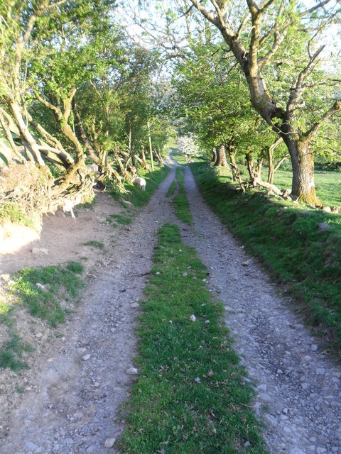
Image: © Martin Evans Taken: 28 May 2012
The track descending to the farm at Pen-y-Foel which doubles as a little used footpath.
Images are licensed for reuse under creativecommons.org/licenses/by-sa/2.0
Image Location
Latitude
52.696245
Longitude
-3.428919