South along a footpath east of Calstone Wellington
Introduction
The photograph on this page of South along a footpath east of Calstone Wellington by Brian Robert Marshall as part of the Geograph project.
The Geograph project started in 2005 with the aim of publishing, organising and preserving representative images for every square kilometre of Great Britain, Ireland and the Isle of Man.

There are currently over 7.5m images from over 14,400 individuals and you can help contribute to the project by visiting https://www.geograph.org.uk
South along a footpath east of Calstone Wellington
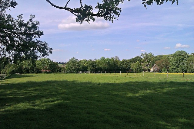
Image: © Brian Robert Marshall Taken: 28 May 2012
South Farm is visible at the right of the image.
Images are licensed for reuse under creativecommons.org/licenses/by-sa/2.0
Image Location
Latitude
51.414431
Longitude
-1.957532