Tiled panel (2), the former "Queen's Arms", Mortlake
Introduction
The photograph on this page of Tiled panel (2), the former "Queen's Arms", Mortlake by Stefan Czapski as part of the Geograph project.
The Geograph project started in 2005 with the aim of publishing, organising and preserving representative images for every square kilometre of Great Britain, Ireland and the Isle of Man.

There are currently over 7.5m images from over 14,400 individuals and you can help contribute to the project by visiting https://www.geograph.org.uk
Tiled panel (2), the former "Queen's Arms", Mortlake
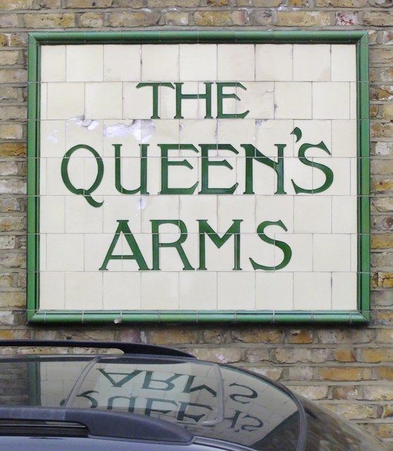
Image: © Stefan Czapski Taken: 19 May 2012
The old 'Queen's Arms' - now a private dwelling - stands at the corner of Queen's Road and Prince's Road, Mortlake. Much of the external tiling of the old Charrington's pub has been retained - in a neighbourhood of former artisans' cottages. The pub name appears in this panel on an east-facing wall in Queen's Road. Another panel, just round the corner in Prince's Road, is shown here: http://www.geograph.org.uk/photo/2964831
Images are licensed for reuse under creativecommons.org/licenses/by-sa/2.0
Image Location
Latitude
51.46645
Longitude
-0.259897