2012 : Open barn at Pylle
Introduction
The photograph on this page of 2012 : Open barn at Pylle by Maurice Pullin as part of the Geograph project.
The Geograph project started in 2005 with the aim of publishing, organising and preserving representative images for every square kilometre of Great Britain, Ireland and the Isle of Man.

There are currently over 7.5m images from over 14,400 individuals and you can help contribute to the project by visiting https://www.geograph.org.uk
2012 : Open barn at Pylle
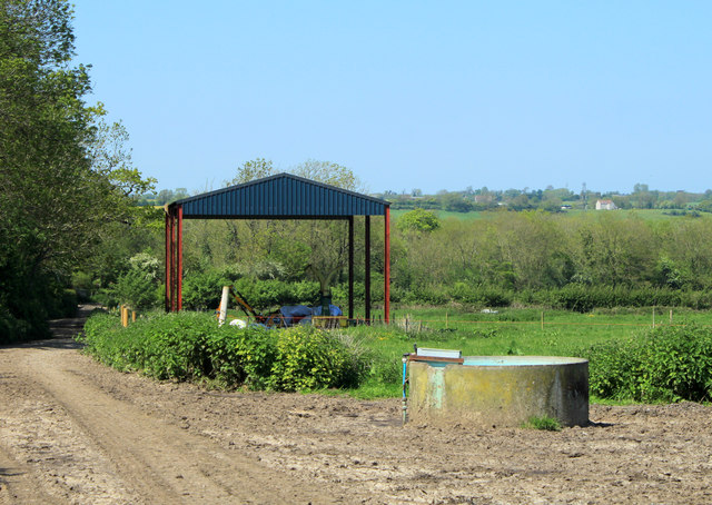
Image: © Maurice Pullin Taken: 22 May 2012
The bare essentials. The object in the foreground looks like a water or sewage pipe which has been adapted for the use of cattle.
Images are licensed for reuse under creativecommons.org/licenses/by-sa/2.0
Image Location
Latitude
51.143694
Longitude
-2.561744