Between Tell's Tower and Caldy Blacks, West Kirby
Introduction
The photograph on this page of Between Tell's Tower and Caldy Blacks, West Kirby by El Pollock as part of the Geograph project.
The Geograph project started in 2005 with the aim of publishing, organising and preserving representative images for every square kilometre of Great Britain, Ireland and the Isle of Man.

There are currently over 7.5m images from over 14,400 individuals and you can help contribute to the project by visiting https://www.geograph.org.uk
Between Tell's Tower and Caldy Blacks, West Kirby
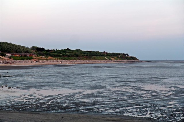
Image: © El Pollock Taken: 27 May 2012
The piece of unbuilt land, in the middle of the picture, is adjacent to the Wirral Way.
Images are licensed for reuse under creativecommons.org/licenses/by-sa/2.0
Image Location
Latitude
53.359684
Longitude
-3.174983