The end of St Andrew's Road
Introduction
The photograph on this page of The end of St Andrew's Road by Bill Boaden as part of the Geograph project.
The Geograph project started in 2005 with the aim of publishing, organising and preserving representative images for every square kilometre of Great Britain, Ireland and the Isle of Man.

There are currently over 7.5m images from over 14,400 individuals and you can help contribute to the project by visiting https://www.geograph.org.uk
The end of St Andrew's Road
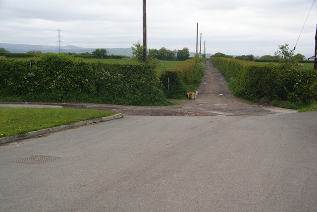
Image: © Bill Boaden Taken: 19 May 2012
This marks the edge of the built up area, with tracks continuing onto former farmland.
Images are licensed for reuse under creativecommons.org/licenses/by-sa/2.0
Image Location
Latitude
53.574883
Longitude
-2.334013