Notts - NG16 (Annesley Hall Area)
Introduction
The photograph on this page of Notts - NG16 (Annesley Hall Area) by David Hallam-Jones as part of the Geograph project.
The Geograph project started in 2005 with the aim of publishing, organising and preserving representative images for every square kilometre of Great Britain, Ireland and the Isle of Man.

There are currently over 7.5m images from over 14,400 individuals and you can help contribute to the project by visiting https://www.geograph.org.uk
Notts - NG16 (Annesley Hall Area)
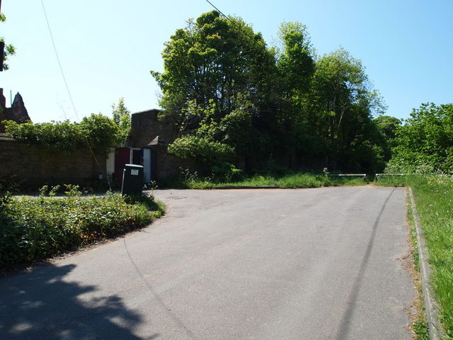
Image: © David Hallam-Jones Taken: 26 May 2012
This is the cul-de-sac at the conclusion of the slip road that starts 300 metres lower down, as a branch off of the Mansfield Road (A608). Beyond the low wooden barriers is a footpath that runs parallel with one of Annesley Hall's boundary walls. Behind the crudely boarded up carriage entrance lies a courtyard that previously served a wing of Annesley Hall. The 12th century Grade I-listed former Annesley Church lies up an unmade path beyond another cul-de-sac to the left, behind the litter bin.
Images are licensed for reuse under creativecommons.org/licenses/by-sa/2.0
Image Location
Latitude
53.066032
Longitude
-1.25081