Woodland Footpath, Kimberley
Introduction
The photograph on this page of Woodland Footpath, Kimberley by Sue Adair as part of the Geograph project.
The Geograph project started in 2005 with the aim of publishing, organising and preserving representative images for every square kilometre of Great Britain, Ireland and the Isle of Man.

There are currently over 7.5m images from over 14,400 individuals and you can help contribute to the project by visiting https://www.geograph.org.uk
Woodland Footpath, Kimberley
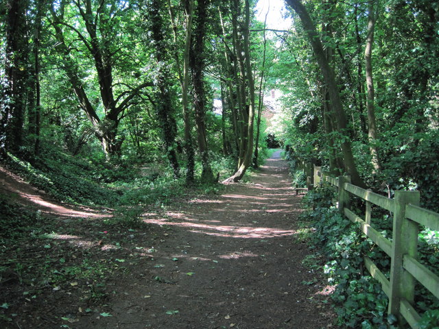
Image: © Sue Adair Taken: 27 May 2012
A short footpath (Johnny's Hill) through woodland linking Oak Lodge Drive (Hardy Street) with the playground and park on Eastwood Road.
Images are licensed for reuse under creativecommons.org/licenses/by-sa/2.0
Image Location
Latitude
53.000123
Longitude
-1.262531