The Magheradartin Road near Hillsborough
Introduction
The photograph on this page of The Magheradartin Road near Hillsborough by Albert Bridge as part of the Geograph project.
The Geograph project started in 2005 with the aim of publishing, organising and preserving representative images for every square kilometre of Great Britain, Ireland and the Isle of Man.

There are currently over 7.5m images from over 14,400 individuals and you can help contribute to the project by visiting https://www.geograph.org.uk
The Magheradartin Road near Hillsborough
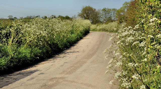
Image: © Albert Bridge Taken: 27 May 2012
Part of a minor road, lined today with spring flowers, running from the Windmill Road to the Hillsborough – Comber Road at Watson’s Bridge.
Images are licensed for reuse under creativecommons.org/licenses/by-sa/2.0
Image Location
Latitude
54.462262
Longitude
-6.025892