The eastern end of Abbey Street
Introduction
The photograph on this page of The eastern end of Abbey Street by Stephen Craven as part of the Geograph project.
The Geograph project started in 2005 with the aim of publishing, organising and preserving representative images for every square kilometre of Great Britain, Ireland and the Isle of Man.

There are currently over 7.5m images from over 14,400 individuals and you can help contribute to the project by visiting https://www.geograph.org.uk
The eastern end of Abbey Street
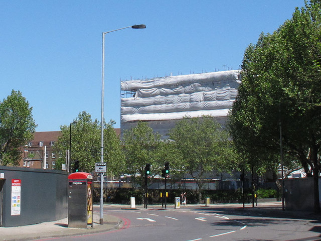
Image: © Stephen Craven Taken: 25 May 2012
Abbey Street generally runs west-east, but at this end turns north-east to meet Jamica Road as shown here. The view includes a telephone box and traffic lights.
Images are licensed for reuse under creativecommons.org/licenses/by-sa/2.0
Image Location
Latitude
51.498645
Longitude
-0.070367