Junction of paths near Monk's Way
Introduction
The photograph on this page of Junction of paths near Monk's Way by DS Pugh as part of the Geograph project.
The Geograph project started in 2005 with the aim of publishing, organising and preserving representative images for every square kilometre of Great Britain, Ireland and the Isle of Man.

There are currently over 7.5m images from over 14,400 individuals and you can help contribute to the project by visiting https://www.geograph.org.uk
Junction of paths near Monk's Way
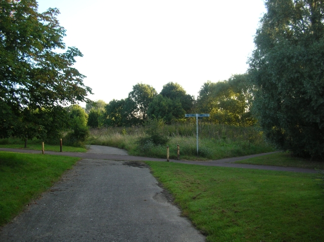
Image: © DS Pugh Taken: 8 Aug 2007
Several paths crossing close to Monk's Way in Kiln Farm. Round the corner is the golf course.
Images are licensed for reuse under creativecommons.org/licenses/by-sa/2.0
Image Location
Latitude
52.043088
Longitude
-0.816321