Pentre Camp Hill Fort, Llangyniew
Introduction
The photograph on this page of Pentre Camp Hill Fort, Llangyniew by Martin Evans as part of the Geograph project.
The Geograph project started in 2005 with the aim of publishing, organising and preserving representative images for every square kilometre of Great Britain, Ireland and the Isle of Man.

There are currently over 7.5m images from over 14,400 individuals and you can help contribute to the project by visiting https://www.geograph.org.uk
Pentre Camp Hill Fort, Llangyniew
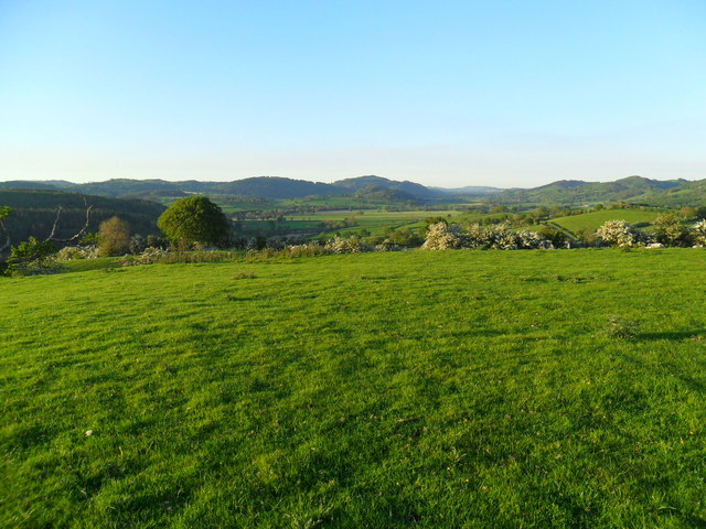
Image: © Martin Evans Taken: 26 May 2012
Pentre Camp, aka Pen-y-Castell aka Pen-y-Gorddin. From nearby this looks like just another grassy dome. You have to get into the air to appreciate that once there was a settlement here, and that's how I first spotted it - flying over my own house not 500 metres away. This photo taken from the top, looking down the Vynrwy valley towards Meifod on a glorious late spring evening. For further info on this any many other sites of antiquity in the area please visit http://www.coflein.gov.uk
Images are licensed for reuse under creativecommons.org/licenses/by-sa/2.0
Image Location
Latitude
52.676707
Longitude
-3.306845