Towards Tuesley Manor, Surrey
Introduction
The photograph on this page of Towards Tuesley Manor, Surrey by Peter Trimming as part of the Geograph project.
The Geograph project started in 2005 with the aim of publishing, organising and preserving representative images for every square kilometre of Great Britain, Ireland and the Isle of Man.

There are currently over 7.5m images from over 14,400 individuals and you can help contribute to the project by visiting https://www.geograph.org.uk
Towards Tuesley Manor, Surrey
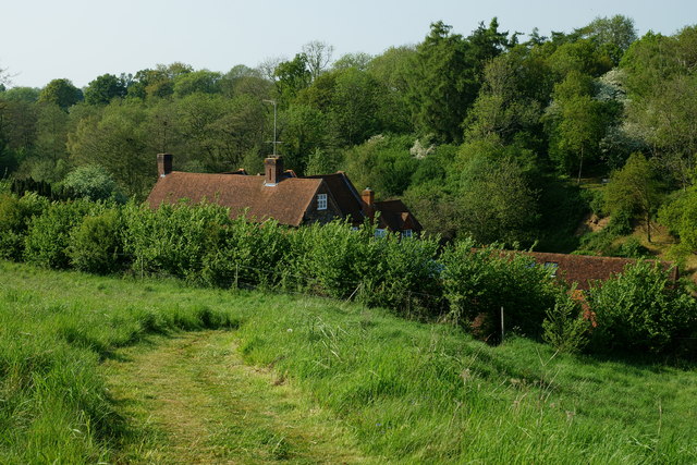
Image: © Peter Trimming Taken: 22 May 2012
Most of the manor lies hidden from view. An aerial view reveals what appears to be a walled garden. The foreground path runs down to a road, which passes Tuesley Manor.
Images are licensed for reuse under creativecommons.org/licenses/by-sa/2.0
Image Location
Latitude
51.169029
Longitude
-0.621704