Arrochar
Introduction
The photograph on this page of Arrochar by Iain Russell as part of the Geograph project.
The Geograph project started in 2005 with the aim of publishing, organising and preserving representative images for every square kilometre of Great Britain, Ireland and the Isle of Man.

There are currently over 7.5m images from over 14,400 individuals and you can help contribute to the project by visiting https://www.geograph.org.uk
Arrochar
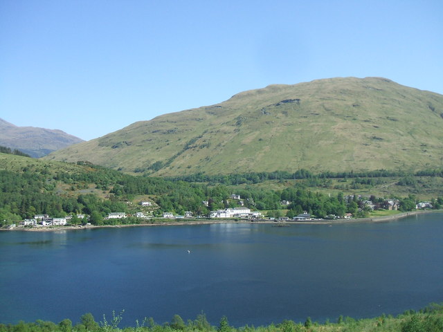
Image: © Iain Russell Taken: 26 May 2012
Looking across Loch Long towards the village from the forest track which leads to The Cobbler.
Images are licensed for reuse under creativecommons.org/licenses/by-sa/2.0
Image Location
Latitude
56.199939
Longitude
-4.746509