The southern end of Damascus Street in Belfast's Holy Land
Introduction
The photograph on this page of The southern end of Damascus Street in Belfast's Holy Land by Eric Jones as part of the Geograph project.
The Geograph project started in 2005 with the aim of publishing, organising and preserving representative images for every square kilometre of Great Britain, Ireland and the Isle of Man.

There are currently over 7.5m images from over 14,400 individuals and you can help contribute to the project by visiting https://www.geograph.org.uk
The southern end of Damascus Street in Belfast's Holy Land
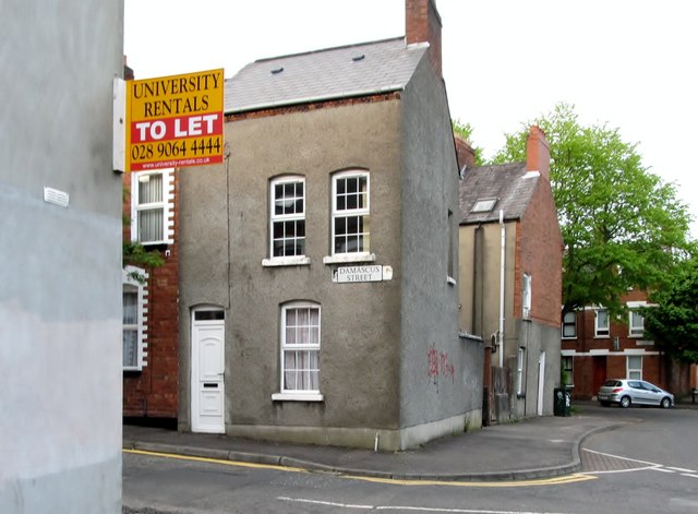
Image: © Eric Jones Taken: 19 May 2012
Damascus Street and its neighbouring streets, Carmel, Palastine, Jerusalem and Cairo, form part of the Belfast Holy Land District. The houses are sub let to students. http://en.wikipedia.org/wiki/Holyland_(Belfast)
Images are licensed for reuse under creativecommons.org/licenses/by-sa/2.0
Image Location
Latitude
54.582857
Longitude
-5.924928