Track near Hir-brysg farm
Introduction
The photograph on this page of Track near Hir-brysg farm by Andrew Hill as part of the Geograph project.
The Geograph project started in 2005 with the aim of publishing, organising and preserving representative images for every square kilometre of Great Britain, Ireland and the Isle of Man.

There are currently over 7.5m images from over 14,400 individuals and you can help contribute to the project by visiting https://www.geograph.org.uk
Track near Hir-brysg farm
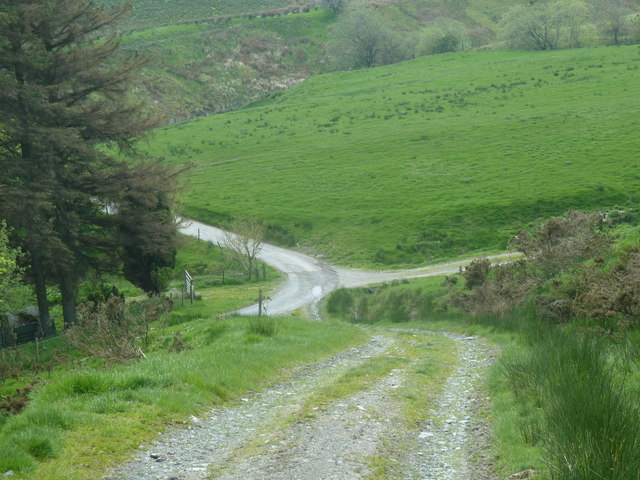
Image: © Andrew Hill Taken: 23 May 2012
A hillside track leading down past a small conifer plantation to the farm lane.
Images are licensed for reuse under creativecommons.org/licenses/by-sa/2.0
Image Location
Latitude
52.418168
Longitude
-3.604014