Pathhead towers
Introduction
The photograph on this page of Pathhead towers by James Allan as part of the Geograph project.
The Geograph project started in 2005 with the aim of publishing, organising and preserving representative images for every square kilometre of Great Britain, Ireland and the Isle of Man.

There are currently over 7.5m images from over 14,400 individuals and you can help contribute to the project by visiting https://www.geograph.org.uk
Pathhead towers
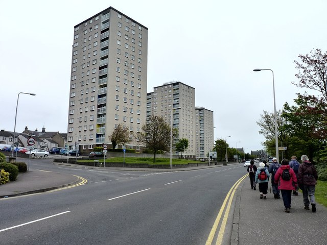
Image: © James Allan Taken: 21 May 2012
High-rise flats with magnificent views across the Firth of Forth and Ravenscraig Castle.
Images are licensed for reuse under creativecommons.org/licenses/by-sa/2.0
Image Location
Latitude
56.12036
Longitude
-3.146756