Access road to Moorland Park, Hewish
Introduction
The photograph on this page of Access road to Moorland Park, Hewish by Jaggery as part of the Geograph project.
The Geograph project started in 2005 with the aim of publishing, organising and preserving representative images for every square kilometre of Great Britain, Ireland and the Isle of Man.

There are currently over 7.5m images from over 14,400 individuals and you can help contribute to the project by visiting https://www.geograph.org.uk
Access road to Moorland Park, Hewish
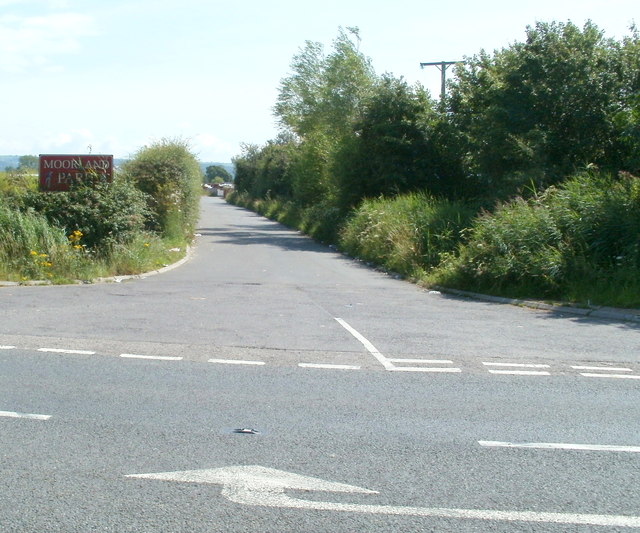
Image: © Jaggery Taken: 23 Jul 2011
The road heads south away from Weston Road towards a residential area about 150 metres away.
Images are licensed for reuse under creativecommons.org/licenses/by-sa/2.0
Image Location
Latitude
51.375626
Longitude
-2.841869