Witheridge : West Street & Lantern Cottage
Introduction
The photograph on this page of Witheridge : West Street & Lantern Cottage by Lewis Clarke as part of the Geograph project.
The Geograph project started in 2005 with the aim of publishing, organising and preserving representative images for every square kilometre of Great Britain, Ireland and the Isle of Man.

There are currently over 7.5m images from over 14,400 individuals and you can help contribute to the project by visiting https://www.geograph.org.uk
Witheridge : West Street & Lantern Cottage
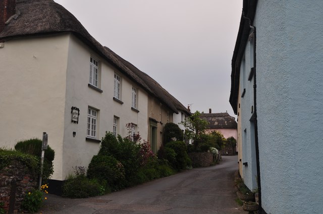
Image: © Lewis Clarke Taken: 23 May 2012
Lantern Cottage probably C16, much altered C19 and mid/late C20. Roughcast and colourwashed, thatched roof which is hipped to the left, rendered stack rising from the left return.
Images are licensed for reuse under creativecommons.org/licenses/by-sa/2.0
Image Location
Latitude
50.917242
Longitude
-3.70407