Clyde Arc
Introduction
The photograph on this page of Clyde Arc by Andy Farrington as part of the Geograph project.
The Geograph project started in 2005 with the aim of publishing, organising and preserving representative images for every square kilometre of Great Britain, Ireland and the Isle of Man.

There are currently over 7.5m images from over 14,400 individuals and you can help contribute to the project by visiting https://www.geograph.org.uk
Clyde Arc
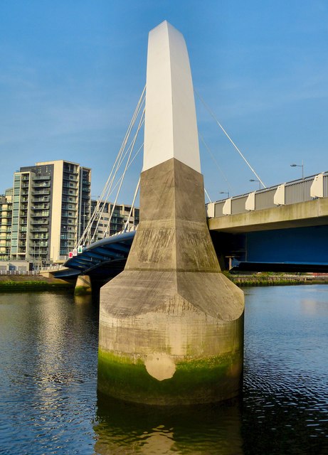
Image: © Andy Farrington Taken: 24 May 2012
Picture of the arc structure that supports the bridge over the River Clyde taken from Mavisbank Quay.
Images are licensed for reuse under creativecommons.org/licenses/by-sa/2.0
Image Location
Latitude
55.85678
Longitude
-4.2839