M&S Simply Food
Introduction
The photograph on this page of M&S Simply Food by Ian Capper as part of the Geograph project.
The Geograph project started in 2005 with the aim of publishing, organising and preserving representative images for every square kilometre of Great Britain, Ireland and the Isle of Man.

There are currently over 7.5m images from over 14,400 individuals and you can help contribute to the project by visiting https://www.geograph.org.uk
M&S Simply Food
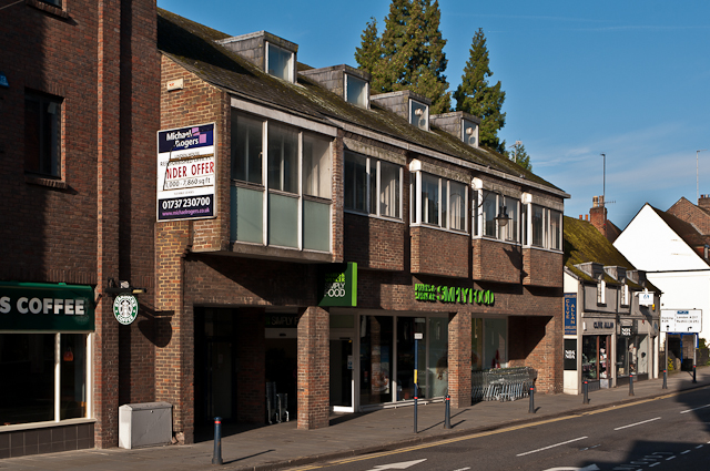
Image: © Ian Capper Taken: 7 May 2012
Built on the site of the Congregational Church, demolished in 1973. The shop was originally a Budgen supermarket, but was taken over by Marks and Spencer in the 1990s following the opening of Safeways (now Morrisons) - see Image
Images are licensed for reuse under creativecommons.org/licenses/by-sa/2.0
Image Location
Latitude
51.237677
Longitude
-0.208547