Former Boundary Bar, Greencastle, Newtownabbey
Introduction
The photograph on this page of Former Boundary Bar, Greencastle, Newtownabbey by Albert Bridge as part of the Geograph project.
The Geograph project started in 2005 with the aim of publishing, organising and preserving representative images for every square kilometre of Great Britain, Ireland and the Isle of Man.

There are currently over 7.5m images from over 14,400 individuals and you can help contribute to the project by visiting https://www.geograph.org.uk
Former Boundary Bar, Greencastle, Newtownabbey
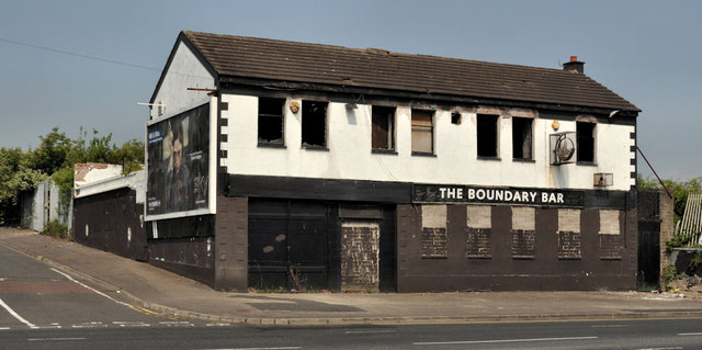
Image: © Albert Bridge Taken: 25 May 2012
Now disused and blocked up bar, on the Shore Road, on the outward side of the flyover (right background in Image). The present boundary, between Belfast and Newtownabbey is out of picture to the left. At one time the boundary was between the City of Belfast and Belfast No1 Rural District. For a later view see Image
Images are licensed for reuse under creativecommons.org/licenses/by-sa/2.0
Image Location
Latitude
54.649608
Longitude
-5.919203