Sliproad for the B1013, Prittlewell
Introduction
The photograph on this page of Sliproad for the B1013, Prittlewell by David Howard as part of the Geograph project.
The Geograph project started in 2005 with the aim of publishing, organising and preserving representative images for every square kilometre of Great Britain, Ireland and the Isle of Man.

There are currently over 7.5m images from over 14,400 individuals and you can help contribute to the project by visiting https://www.geograph.org.uk
Sliproad for the B1013, Prittlewell
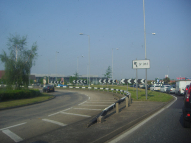
Image: © David Howard Taken: 24 May 2012
You don't often see striped barriers nowadays but they do seem to show far better than the plain metal ones.
Images are licensed for reuse under creativecommons.org/licenses/by-sa/2.0
Image Location
Latitude
51.561416
Longitude
0.680104