Chestnut Close bungalows, Congresbury
Introduction
The photograph on this page of Chestnut Close bungalows, Congresbury by Jaggery as part of the Geograph project.
The Geograph project started in 2005 with the aim of publishing, organising and preserving representative images for every square kilometre of Great Britain, Ireland and the Isle of Man.

There are currently over 7.5m images from over 14,400 individuals and you can help contribute to the project by visiting https://www.geograph.org.uk
Chestnut Close bungalows, Congresbury
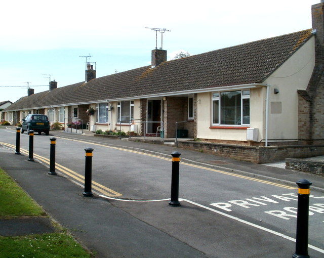
Image: © Jaggery Taken: 23 Jul 2011
Viewed from the High Street end. The 60-metre long row of bungalows is on the NW side of the private road.
Images are licensed for reuse under creativecommons.org/licenses/by-sa/2.0
Image Location
Latitude
51.368666
Longitude
-2.808701