The new Painsend Farm
Introduction
The photograph on this page of The new Painsend Farm by Rob Farrow as part of the Geograph project.
The Geograph project started in 2005 with the aim of publishing, organising and preserving representative images for every square kilometre of Great Britain, Ireland and the Isle of Man.

There are currently over 7.5m images from over 14,400 individuals and you can help contribute to the project by visiting https://www.geograph.org.uk
The new Painsend Farm
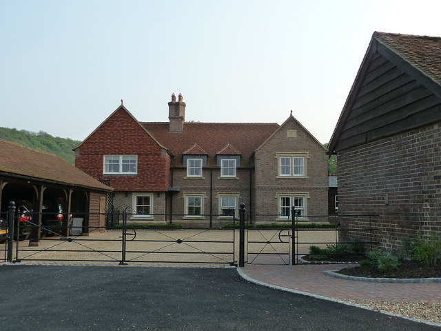
Image: © Rob Farrow Taken: 23 May 2012
I took a photograph of the original Painsend Farm back in 2005 which you can see here Image Since then, that old house has been demolished and the one seen here has replaced it.
Images are licensed for reuse under creativecommons.org/licenses/by-sa/2.0
Image Location
Latitude
51.775014
Longitude
-0.685216