Valley below Membland
Introduction
The photograph on this page of Valley below Membland by Derek Harper as part of the Geograph project.
The Geograph project started in 2005 with the aim of publishing, organising and preserving representative images for every square kilometre of Great Britain, Ireland and the Isle of Man.

There are currently over 7.5m images from over 14,400 individuals and you can help contribute to the project by visiting https://www.geograph.org.uk
Valley below Membland
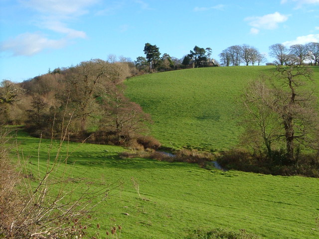
Image: © Derek Harper Taken: 16 Dec 2006
Seen from the lane between Bridgend and Creacombe. The large house with the tower at the top of the hill is Lone Pine. Membland Wood is on the left. The stream seems to be unnamed.
Images are licensed for reuse under creativecommons.org/licenses/by-sa/2.0
Image Location
Latitude
50.317029
Longitude
-4.022587