SE end of High Street, Yatton
Introduction
The photograph on this page of SE end of High Street, Yatton by Jaggery as part of the Geograph project.
The Geograph project started in 2005 with the aim of publishing, organising and preserving representative images for every square kilometre of Great Britain, Ireland and the Isle of Man.

There are currently over 7.5m images from over 14,400 individuals and you can help contribute to the project by visiting https://www.geograph.org.uk
SE end of High Street, Yatton
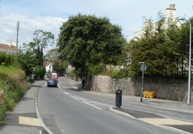
Image: © Jaggery Taken: 23 Jul 2011
This part of High Street has a semirural appearance. Viewed from near the Claverham Road junction looking towards the Rock Road junction.
Images are licensed for reuse under creativecommons.org/licenses/by-sa/2.0
Image Location
Latitude
51.38391
Longitude
-2.814718