Church Road bungalows, Yatton
Introduction
The photograph on this page of Church Road bungalows, Yatton by Jaggery as part of the Geograph project.
The Geograph project started in 2005 with the aim of publishing, organising and preserving representative images for every square kilometre of Great Britain, Ireland and the Isle of Man.

There are currently over 7.5m images from over 14,400 individuals and you can help contribute to the project by visiting https://www.geograph.org.uk
Church Road bungalows, Yatton
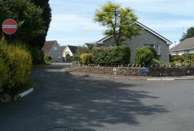
Image: © Jaggery Taken: 23 Jul 2011
A one-way system operates here - turn right at number 19. No entry on the left, except for access.
Images are licensed for reuse under creativecommons.org/licenses/by-sa/2.0
Image Location
Latitude
51.384769
Longitude
-2.820481