Towards Sudbrook
Introduction
The photograph on this page of Towards Sudbrook by Glyn Baker as part of the Geograph project.
The Geograph project started in 2005 with the aim of publishing, organising and preserving representative images for every square kilometre of Great Britain, Ireland and the Isle of Man.

There are currently over 7.5m images from over 14,400 individuals and you can help contribute to the project by visiting https://www.geograph.org.uk
Towards Sudbrook
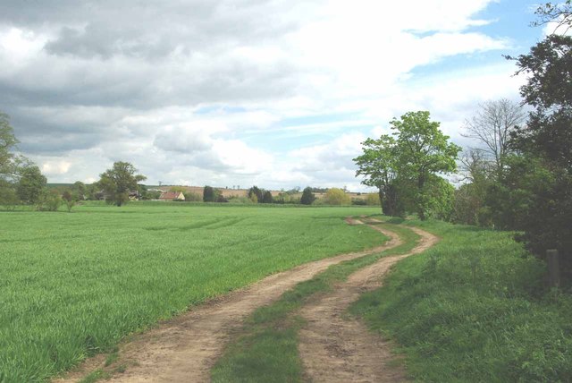
Image: © Glyn Baker Taken: 13 May 2012
This is the bridleway that connects Sudbrook and the A153 at West Willoughby
Images are licensed for reuse under creativecommons.org/licenses/by-sa/2.0
Image Location
Latitude
52.985674
Longitude
-0.558633