Broad Lane looking east
Introduction
The photograph on this page of Broad Lane looking east by John Stephen as part of the Geograph project.
The Geograph project started in 2005 with the aim of publishing, organising and preserving representative images for every square kilometre of Great Britain, Ireland and the Isle of Man.

There are currently over 7.5m images from over 14,400 individuals and you can help contribute to the project by visiting https://www.geograph.org.uk
Broad Lane looking east
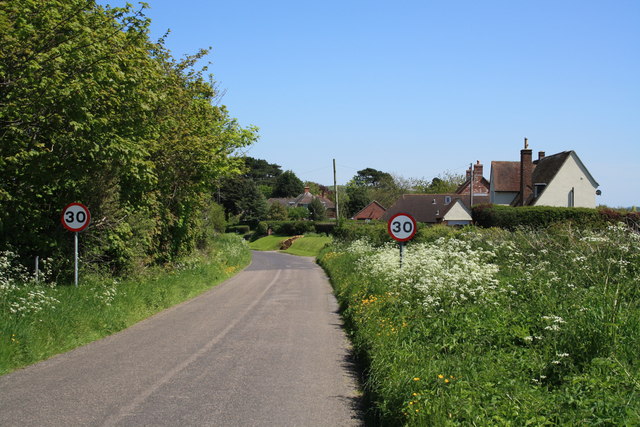
Image: © John Stephen Taken: 22 May 2012
Looking east in the direction of Bridport at the first houses on Broad Lane (or last if you are coming from town). A footpath skirts the edge of the end house going off right to the A35. Quite a few footpaths and lanes were disrupted by the construction of the Bridport bypass.
Images are licensed for reuse under creativecommons.org/licenses/by-sa/2.0
Image Location
Latitude
50.726046
Longitude
-2.77279