Nottingham - NG5 (Bagthorpe)
Introduction
The photograph on this page of Nottingham - NG5 (Bagthorpe) by David Hallam-Jones as part of the Geograph project.
The Geograph project started in 2005 with the aim of publishing, organising and preserving representative images for every square kilometre of Great Britain, Ireland and the Isle of Man.

There are currently over 7.5m images from over 14,400 individuals and you can help contribute to the project by visiting https://www.geograph.org.uk
Nottingham - NG5 (Bagthorpe)
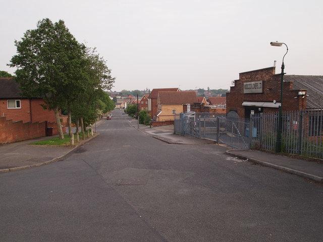
Image: © David Hallam-Jones Taken: 23 May 2012
A view down the gentle slope at this end of Quorn Road - in the direction of Haydn Road - from the junction with Glendon Drive (just visible on the left). The premises of a couple of small factories (light industrial) characterise this end of the street, where the Quorn Road, Quorn Grove and Bagthorpe Close meet. The road widens as it heads into the distance towards Haydn Road.
Images are licensed for reuse under creativecommons.org/licenses/by-sa/2.0
Image Location
Latitude
52.981225
Longitude
-1.164252