Nottingham - NG5 (Bagthorpe)
Introduction
The photograph on this page of Nottingham - NG5 (Bagthorpe) by David Hallam-Jones as part of the Geograph project.
The Geograph project started in 2005 with the aim of publishing, organising and preserving representative images for every square kilometre of Great Britain, Ireland and the Isle of Man.

There are currently over 7.5m images from over 14,400 individuals and you can help contribute to the project by visiting https://www.geograph.org.uk
Nottingham - NG5 (Bagthorpe)
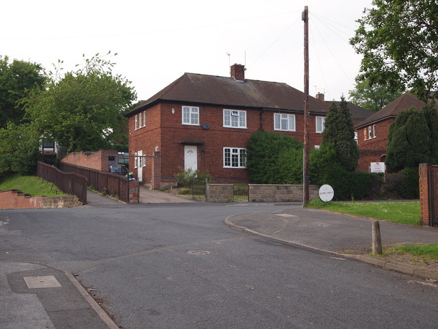
Image: © David Hallam-Jones Taken: 23 May 2012
The conclusion of Quorn Road, Basford at the point where it divides to turn into Quorn Grove (marked with an old and very prominient circular-style street sign) and where it also leads into Bagthorpe Close. Bagthorpe was an earlier name for a large part of Basford that featured in the names given to a number of local institutions, e.g. Bagthorpe Workhouse (later integrated into the City Hospital) and Bagthorpe Gaol (now HMP Nottingham). A footpath in the distance connects Quorn Road with Perry Road.
Images are licensed for reuse under creativecommons.org/licenses/by-sa/2.0
Image Location
Latitude
52.982038
Longitude
-1.164833