St Lawrences Way
Introduction
The photograph on this page of St Lawrences Way by Ian Capper as part of the Geograph project.
The Geograph project started in 2005 with the aim of publishing, organising and preserving representative images for every square kilometre of Great Britain, Ireland and the Isle of Man.

There are currently over 7.5m images from over 14,400 individuals and you can help contribute to the project by visiting https://www.geograph.org.uk
St Lawrences Way
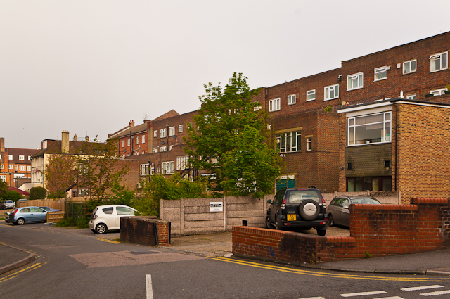
Image: © Ian Capper Taken: 13 May 2012
Named after St Lawrence's Chapel, the remains of which are said to be incorporated in 15/15A Bell Street (see Image). The road acts as a service road to the back of shops and flats in Church Street.
Images are licensed for reuse under creativecommons.org/licenses/by-sa/2.0
Image Location
Latitude
51.237647
Longitude
-0.203678