Shankill Road (B39) at the junction with Lanark Way
Introduction
The photograph on this page of Shankill Road (B39) at the junction with Lanark Way by Eric Jones as part of the Geograph project.
The Geograph project started in 2005 with the aim of publishing, organising and preserving representative images for every square kilometre of Great Britain, Ireland and the Isle of Man.

There are currently over 7.5m images from over 14,400 individuals and you can help contribute to the project by visiting https://www.geograph.org.uk
Shankill Road (B39) at the junction with Lanark Way
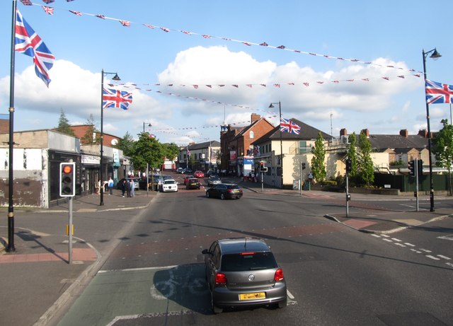
Image: © Eric Jones Taken: 19 May 2012
The 1st Shankill Northern Ireland Supporters Club can be seen on the right. Image
Images are licensed for reuse under creativecommons.org/licenses/by-sa/2.0
Image Location
Latitude
54.604889
Longitude
-5.957703