Ashcombe Farm
Introduction
The photograph on this page of Ashcombe Farm by Derek Harper as part of the Geograph project.
The Geograph project started in 2005 with the aim of publishing, organising and preserving representative images for every square kilometre of Great Britain, Ireland and the Isle of Man.

There are currently over 7.5m images from over 14,400 individuals and you can help contribute to the project by visiting https://www.geograph.org.uk
Ashcombe Farm
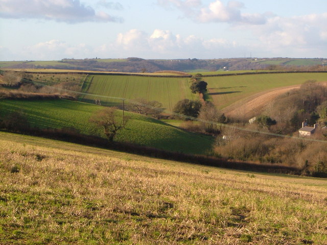
Image: © Derek Harper Taken: 16 Dec 2006
The farm is perched between two adjacent combes that run a short distance (to the right) to the Yealm, whose estuary lies between the near and further hills. View from the B3186 close to Gala Cross.
Images are licensed for reuse under creativecommons.org/licenses/by-sa/2.0
Image Location


Leaflet Map data © OpenStreetMap
Latitude
50.334446
Longitude
-4.003653