View north along Blacks Road towards the junction with Stewartstown Road
Introduction
The photograph on this page of View north along Blacks Road towards the junction with Stewartstown Road by Eric Jones as part of the Geograph project.
The Geograph project started in 2005 with the aim of publishing, organising and preserving representative images for every square kilometre of Great Britain, Ireland and the Isle of Man.

There are currently over 7.5m images from over 14,400 individuals and you can help contribute to the project by visiting https://www.geograph.org.uk
View north along Blacks Road towards the junction with Stewartstown Road
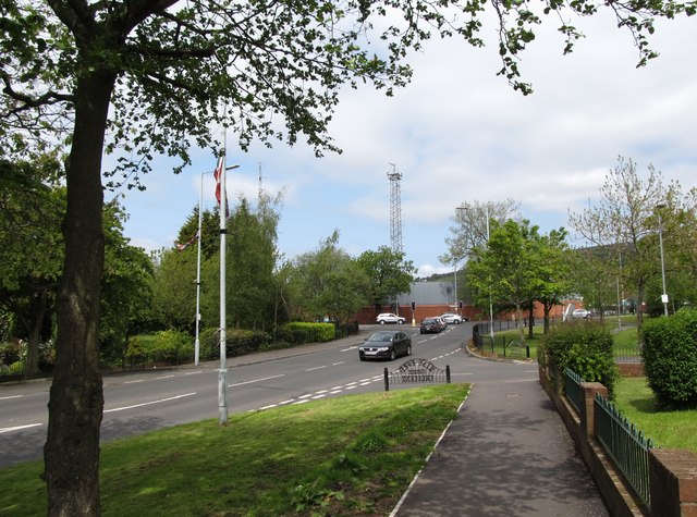
Image: © Eric Jones Taken: 19 May 2012
The fortified building at the junction is the Woodbourne PSNI station.
Images are licensed for reuse under creativecommons.org/licenses/by-sa/2.0
Image Location
Latitude
54.567328
Longitude
-6.011383