Nether Bogside
Introduction
The photograph on this page of Nether Bogside by Anne Burgess as part of the Geograph project.
The Geograph project started in 2005 with the aim of publishing, organising and preserving representative images for every square kilometre of Great Britain, Ireland and the Isle of Man.

There are currently over 7.5m images from over 14,400 individuals and you can help contribute to the project by visiting https://www.geograph.org.uk
Nether Bogside
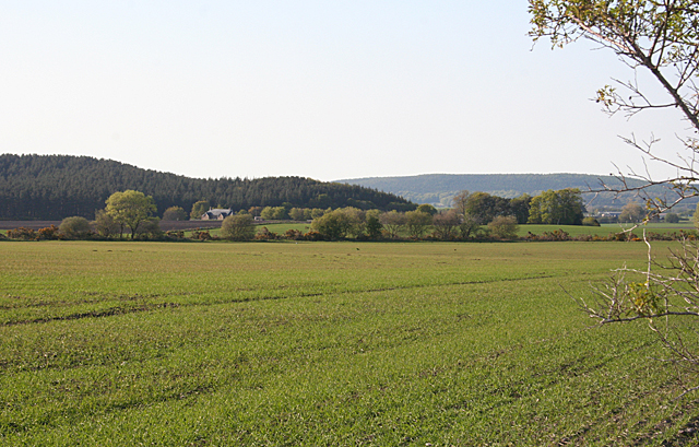
Image: © Anne Burgess Taken: 21 May 2012
It is amazing how many farms bear the unappealing name of Bogside, hinting at land that is perhaps not the easiest to cultivate. The main farm is hidden among the trees, but one of the cottages is seen at left.
Images are licensed for reuse under creativecommons.org/licenses/by-sa/2.0
Image Location
Latitude
57.604162
Longitude
-3.348893