South Norwood: The Waterside Centre
Introduction
The photograph on this page of South Norwood: The Waterside Centre by Dr Neil Clifton as part of the Geograph project.
The Geograph project started in 2005 with the aim of publishing, organising and preserving representative images for every square kilometre of Great Britain, Ireland and the Isle of Man.

There are currently over 7.5m images from over 14,400 individuals and you can help contribute to the project by visiting https://www.geograph.org.uk
South Norwood: The Waterside Centre
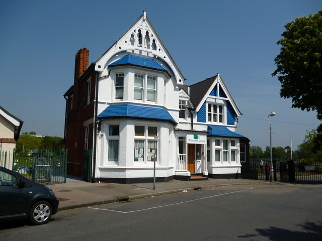
Image: © Dr Neil Clifton Taken: 22 May 2012
From which all the water-related activities on South Norwood Lake are managed.
Images are licensed for reuse under creativecommons.org/licenses/by-sa/2.0
Image Location
Latitude
51.405659
Longitude
-0.075721