Watton Cross
Introduction
The photograph on this page of Watton Cross by John Stephen as part of the Geograph project.
The Geograph project started in 2005 with the aim of publishing, organising and preserving representative images for every square kilometre of Great Britain, Ireland and the Isle of Man.

There are currently over 7.5m images from over 14,400 individuals and you can help contribute to the project by visiting https://www.geograph.org.uk
Watton Cross
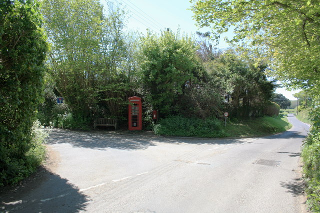
Image: © John Stephen Taken: 22 May 2012
The junction of Skilling Hill Road (coming from behind camera), Broad Lane going ahead to Eype, and Watton Lane turning off to the left. The telephone box has a notice in it saying that it is up for adoption.
Images are licensed for reuse under creativecommons.org/licenses/by-sa/2.0
Image Location
Latitude
50.726518
Longitude
-2.769397